Subregion · part of Africa
Western Africa
Country-by-country guide to Western Africa: capitals, flags, borders, area, and population for every nation in this UN subregion of Africa.
17 countries
440,272,026 people
6,141,959 km² total land area
Western Africa stretches from the Sahara's southern edge to the Gulf of Guinea, encompassing the West African Monsoon zone and the Sahel. The subregion includes both Anglophone and Francophone heritage states and the Atlantic island chains.
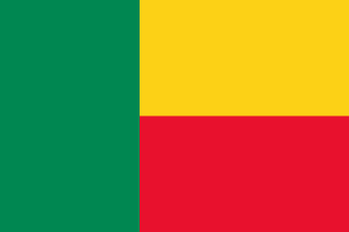
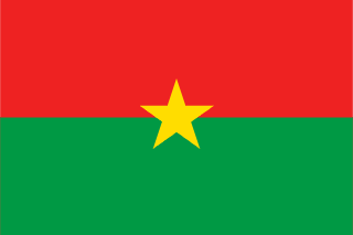
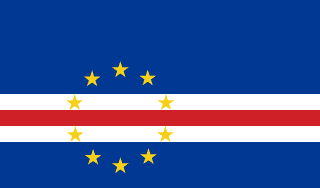
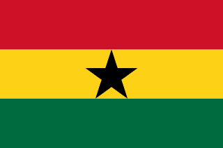
Use this page as an entry point into the subregion. Skim the table below for an at-a-glance comparison, then click any country to read the full editorial profile — capital, flag, official languages, currencies, bordering states, an embedded OpenStreetMap viewport, and links to high-resolution map services.
| 13,224,860 | |
| 24,070,553 | |
| 491,233 | |
| 2,422,712 | |
| 33,742,380 | |
| 14,363,931 | |
| 1,781,308 | |
| 31,719,275 | |
| 5,248,621 | |
| 22,395,489 | |
| 4,927,532 | |
| 26,312,034 | |
| 223,800,000 | |
| 5,651 | |
| 18,593,258 | |
| 9,077,691 | |
| 8,095,498 |